
informational 4 min read
Paris Catacombs Map: The Visitor Route, Entrance and Exit
Updated October 27, 2026
The Paris Catacombs map that matters to a visitor is short and one-way: you go in at 1 avenue du Colonel Henri Rol-Tanguy on Place Denfert-Rochereau, walk about 1.5 km of galleries 20 metres below the 14th arrondissement, and come out at 21 bis avenue René-Coty, about 700 metres from where you started. The rest of the old quarry network under Paris is not on the visitor route and is closed to the public.
The visitor route, start to finish
- Entrance, Place Denfert-Rochereau. Your timed ticket is checked here. The entrance faces Denfert-Rochereau station.
- Spiral staircase down. 130 steps take you about 20 metres below the street.
- Quarry galleries. A first stretch through the old limestone workings, before any bones.
- The ossuary gate. The inscription “Arrête ! C’est ici l’empire de la Mort” marks the start of the ossuary.
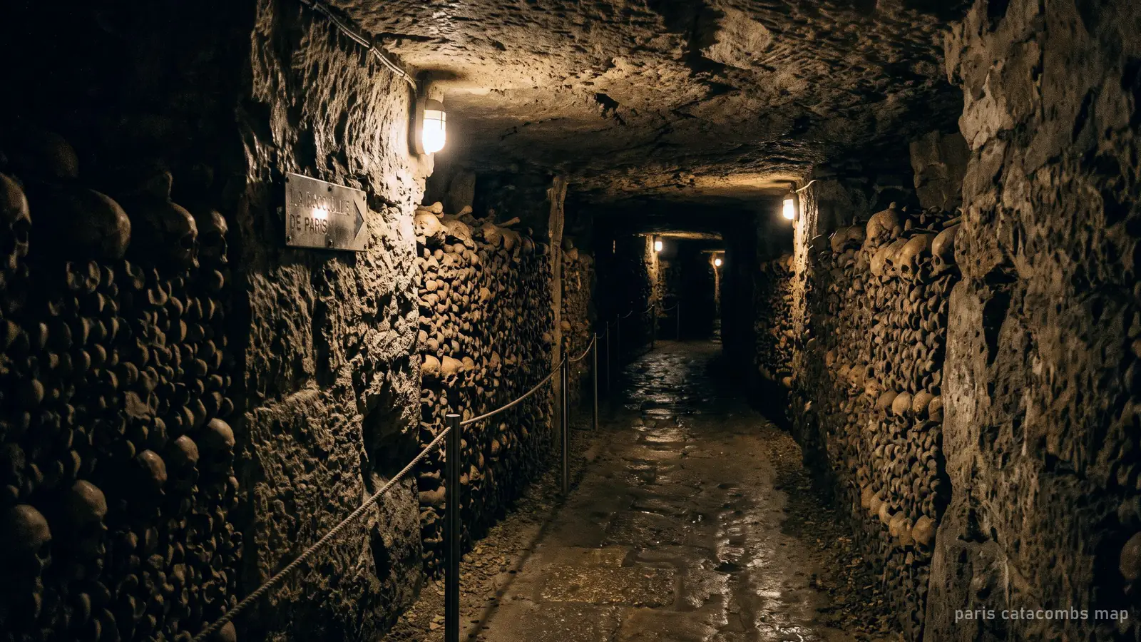
- The ossuary. Walls of stacked bones, 217 of them according to the City of Paris, with monuments and inscriptions. Restricted-access tours leave the route here through locked gates.
- Staircase up. 112 steps.
- Exit, 21 bis avenue René-Coty. A small outdoor area before the street.
Allow about an hour for the whole route with the audio guide.
Entrance and exit on a street map
The entrance is on Place Denfert-Rochereau, opposite the station exits for Metro lines 4 and 6 and RER B. The exit is on avenue René-Coty, a short walk south of the square. Walking back from the exit to the station takes a few minutes; getting there has the routes.
How big is the network on the map?
The visitor route is a small fraction of what lies under Paris. The ossuary itself occupies a section of the former quarries, and the City of Paris gives its area as 11,000 m². Around it run the galleries of the old mines of Paris, which Parisians loosely call “the catacombs” as a whole. Tour listings put that network at hundreds of kilometres; it is mapped by the city’s quarry inspectorate, not open to visitors, and entering it is illegal.
Do you need a map on the visit?
No. The public route is a single signposted path with one way in and one way out, and since the 2026 renovation the signage and lighting have been redone. The audio guide follows the route with you.
See the route in person
Every ticket and tour follows this route. The guided tours with restricted access add rooms off it.
Frequently asked questions
Where is the entrance to the Paris Catacombs?
At 1 avenue du Colonel Henri Rol-Tanguy on Place Denfert-Rochereau, in the 14th arrondissement, opposite Denfert-Rochereau station.
Where is the exit of the Paris Catacombs?
At 21 bis avenue René-Coty, about 700 metres from the entrance. The route is one-way.
How long is the Catacombs route?
About 1.5 km of galleries, about 20 metres below the street.
Can you get a map of the entire Paris catacombs?
Only the ossuary route is open and mapped for visitors. The wider quarry network is closed to the public and entering it is illegal.
Sources